| The Canadian Directory of Water Towers and Standpipes is sponsored by "Understanding Your Home" |
|
Waterdown (3 WT, 1 SP) - Southwestern Ontario
East Flamborough Township. City of Hamilton. Photo © Mark Visser |
|
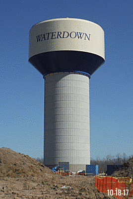
Tower Information
Location: Skimmer Road
Signage:
Built: 2017
Height:
Capacity: |
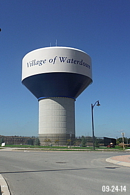
Tower Information
Location: Cole Street
Signage:
Built:
Height:
Capacity: |
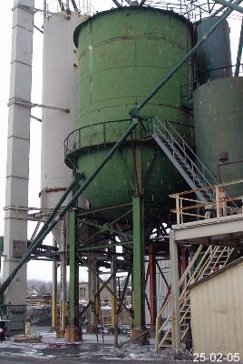
Tower Information( )
Location: 407 Parkside Drive
Signage: Built: Height:
Capacity:
Tower is intergrated part of Opta Minerals operations. It is on private property and not visible from road |
|
|
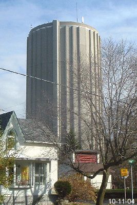 |
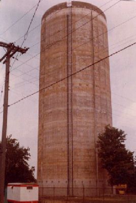
Standpipe Information
Location: Kelly Street
Signage:
Built: 1977
Height: 38 meters
Capacity: 2,840,000 liters
Water source: Lake Ontario
RH photo credit: ?
Missing data:
Please contact us if you have more information |
 |
|
|
|
|
Area information.
In 1974, the village was amalgamated with East Flamborough, West Flamborough and Beverly townships to form the Town of Flamborough. In 2001, Flamborough and 5 other municipalities were amalgamated into the City of Hamilton. On January 1, 2001 the new city of Hamilton was formed from the amalgamation of six municipalities: Hamilton, Ancaster, Dundas, Flamborough, Glanbrook, and Stoney Creek.
1669 saw French explorer Robert de la Salle follow Spencer Creek (from Lake Ontario) up toward present-day Westover and the Indigenous settlement of Tinawatawa. The area remained largely unaffected until the American Revolution unleashed a flood of Loyalists fleeing the American republic. Today Waterdown is the largest settlement in the former township of East Flamborough. Wikipedia |
|
|
Other sites you may be interested in
USA Water Towers and Standpipes
Magnetic Hills: USA, CA, Worldwide
Thumbnail Collection of USA Water Towers
The History of the Christian Fish Symbol |
|
|
|
| Home |
 |
Ontario - W Index |